LiDAR 101: Breaking Down the Technology and its Use Cases
LiDAR solutions are rolling out to the security industry to help organizations manage their perimeters and protect workers.
But What Exactly is LiDAR?
LiDAR, or light detection and ranging, is a remote sensing method that uses light in the form of a pulsed laser to measure ranges (known as variable distances) to the Earth. When combined with other data, these pulses can be used to create precise, three-dimensional information about the shape of the Earth and its surface characteristics.
There are two main types of LiDAR:
- Topographic LiDAR, which uses a near-infrared laser to map land
- Bathymetric LiDAR, which uses water-penetrating green light to measure the seafloor and riverbed elevations
When Did LiDAR Emerge?
Scientists began using light beams to measure distance in the 1930s to study the atmosphere, and planes began using LiDAR when the laser was invented in the 1960s. But the technology didn’t really take off until the late 1980s when GPS equipment and inertial measurement units (IMUs) became commercially available.
This is because LiDAR instruments typically consist of a laser, a scanner, and a specialized GPS receiver.
In a plane, for instance, the LiDAR instrument would use a laser pointed downward from the bottom of the airplane to flash hundreds of thousands of pulses per second at the ground. Those pulses are then reflected to a receiver on the airplane. If the pulses hit a uniform surface—such as a cleared field—they return to the plane as a single return; if the pulses hit an uneven surface—like a forest or mountain range—they return to the plane in multiple returns. GPS is used to determine the position of the plane over the ground, while an IMU is used to determine its orientation while flying. Using these tools to collect data and then complete a series of calculations, scientists can then create extremely accurate topographical maps.
What is LiDAR Used For?
Because of its accuracy, many researchers and government agencies use LiDAR to create shoreline maps and elevation models.
The U.S. Geological Survey uses LiDAR data to manage water resources and identify areas prone to landslides, while the Federal Emergency Management Agency uses LiDAR elevations to create floodplain maps to better understand flood risks.
The National Oceanic and Atmospheric Administration uses bathymetric LiDAR systems to map rivers and shallow coastal areas to create the United States’ official nautical charts—used by shipping companies to safely navigate their ships in and out of U.S. ports.
Archaeologists have even used LiDAR to map ancient cities and historic sites.
What About in the Commercial Space?
Robots may be equipped with LiDAR to give them spatial awareness and allow them to navigate. Boston Dynamics, for example, says that LiDAR is especially useful for robots that need to move in desert or low light conditions while avoiding collisions.
Drones equipped with LiDAR can be used to create maps—such as of a utility site or construction project. DJI, which is a leading manufacturer of drones for consumer and commercial use, provides a variety of LiDAR solutions to incorporate into drones for these purposes.
The self-driving taxi company Waymo, for instance, uses a proprietary LiDAR and imaging radar system to detect pedestrians in need of a pick-up.
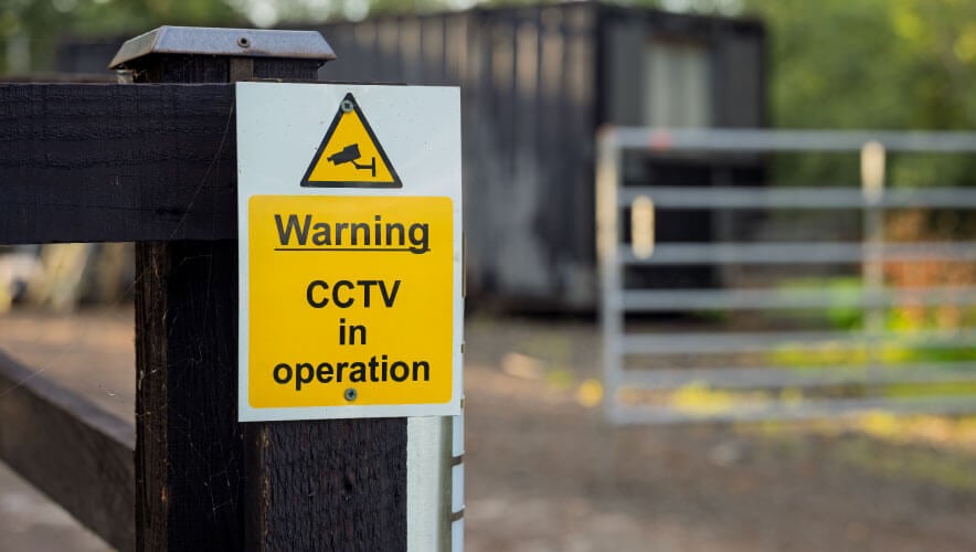
Elsewhere, technologists are developing LiDAR solutions to improve perimeter protection and workforce safety. LiDAR is also being used to create digital twins—exact virtual replicas of a facility that can be used to visualize threats, upgrades, and more.
Megan Gates is editor-in-chief of Security Technology. Connect with her at [email protected] or on LinkedIn.